SLR 란?
NASA에 있는 자료
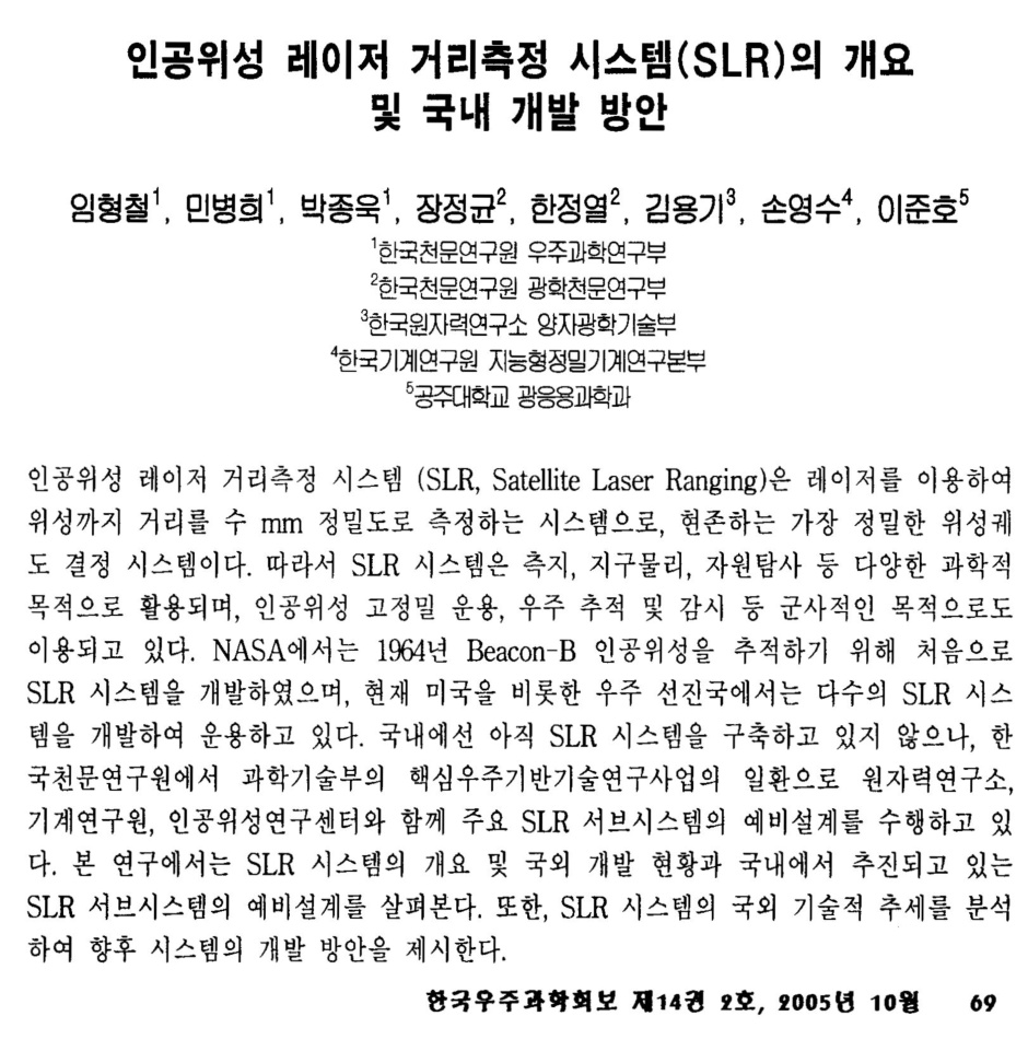
SLR(Satellite Laser Ranging-인공위성 레이저 거리측정)에서는 전세계적인 네트워크로 되어 있는 관측소에서 레이저 광선 역반사 장치 (retroreflector)를 보유한 인공위성과 광파 중 극초단파의 이동 시간을 측정한다. 이것은 즉각적인 수 mm 수준의 정밀도를 제공하는 데, 정확한 궤도를 측정하고 다수의 중요한 과학적 자료를 제공할 수 있는 것이다.
SLR은 지구/대기/해양의 과학적 연구에 중요하게 기여하는 의미있는 측지학적 기술을 제공한다. 이것은 레이다 고도의 정확한 보정과 해수면의 장시간의 변화 관측을 가능케 하는 것으로 인공위성의 지구중심으로부터의 위치를 결정할 수 있는 현재로서는 가장 정확한 기술이다.
절대좌표계에서의 수직운동을 모니터하는 능력과 더불어, 지구 중력장에서 시간에 따른 변화를 측정하고 지구중심에 대하여 정지된 네트워크의 움직임을 모니터하는 그것의 능력은 장기간 기후 변화를 평가하고 모델링하기 위하여 유일한 방법이다.
- 후빙기 지각의 반동(post-glacial rebound)과 해수면과 빙하부피 변화를 위한 비교 좌표계를 제공함.
- 지구, 해양 및 대기의 주기적인 질량의 재분포를 결정함.
- 태양열의 계절적 변화에 대한 대기의 반응을 모니터링.
- SLR은 좌표계 이끌림 효과(frame-dragging effect)와 같은 일반상대성이론의 예언을 검증하기 위한 유일한 능력을 제공한다.
SLR 관측소는 VLBI, GPS, DORIS 및 PRARE 시스템을 포함한 우주측지학적 관측 장비들의 국제적인 네트워크 중 중요한 부분을 형성하고 있다. 몇 개의 꼭 필요한 임무들 중에서 SLR은 다른 라디오미터 방식의 추적시스템이 고장났을 때, 여분의 대체시스템을 제공하고 있다.
SLR은 고도계 위성의 고도를 직접적이고 명확한 측정을 수행하며, 장시간에 이뤄지는 수 cm 수준의 해수면 변화로부터 고도계의 이동을 효과적으로 구분해낸다. 이것의 보정은 년간 수 mm의 전세계적인 평균해수면 변화의 측정과 빙하 체적 변화를 측정하는 데 쓰이는 빙하면의 지도제작에 필수적인 것이다.
In satellite laser ranging (SLR) a global network of observation stations measure the round trip time of flight of ultrashort pulses of light to satellites equipped with retroreflectors. This provides instantaneous range measurements of millimeter level precision which can be accumulated to provide accurate measurement of orbits and a host of important scientific data.
Satellite laser ranging is a proven geodetic technique with significant potential for important contributions to scientific studies of the Earth/Atmosphere/Oceans system. It is the most accurate technique currently available to determine the geocentric position of an Earth satellite, allowing for the precise calibration of radar altimeters and separation of long-term instrumentation drift from secular changes in ocean topography.
Its ability to measure the variations over time in the Earth’s gravity field and to monitor motion of the station network with respect to the geocenter, together with the capability to monitor vertical motion in an absolute system, makes it unique for modeling and evaluating long-term climate change by:
- Providing a reference system for post-glacial rebound, sea level and ice volume change.
- Determining the temporal mass redistribution of the solid Earth, ocean, and atmosphere system.
- Monitoring the response of the atmosphere to seasonal variations in solar heating.
- SLR provides a unique capability for verification of the predictions of the theory of General Relativity, such as the frame-dragging effect.
SLR stations form an important part of the international network of space geodetic observatories, which include VLBI, GPS, DORIS and PRARE systems. on several critical missions, SLR has provided failsafe redundancy when other radiometric tracking systems have failed.
SLR provides direct, unambiguous measurement of altimeter satellite height and permits effective separation of altimeter system drift from long-period ocean topography changes at the sub-cm level. This calibration is essential for the measurement of global mean sea level changes of a few mm/yr and the mapping of ice field topography used to estimate ice volume changes.
'기타 > 측량및 지형공간정보' 카테고리의 다른 글
| [스크랩] 김순태사무관님의 KLIS이해 (0) | 2008.02.02 |
|---|---|
| 수치도화 개념도 (0) | 2007.12.29 |
| [스크랩] 건교부 주요사업 알아보기 - VC-10이란? (0) | 2007.12.26 |
| LOD, Level of Detail (0) | 2007.12.24 |
| 코리올리의 힘 (0) | 2007.12.24 |
